With more than 12,000 miles of trails of all types across the Commonwealth, it is not a surprise that hiking is the most popular outdoor activity in Pennsylvania. From leisurely loop hikes and family-friendly rail-trails, to rigorous multi-day hikes through state forests and everything in between, there are options for everyone.
However, whether it’s your first time or your 100th time, one of the most intimidating aspects of hiking is making sure you don’t get lost.
Trails don’t just appear out of nowhere. They are planned, built, and marked, so individuals can safely travel on a set path from trailhead to summit.
Thankfully, park staff and volunteers across the Commonwealth maintain our state parks’ and forests’ trails for our outdoor recreation safety. They make sure trails are properly marked to ensure people know where they are going. One way they do so is through trail blazes.
What Exactly are Trail Blazes?
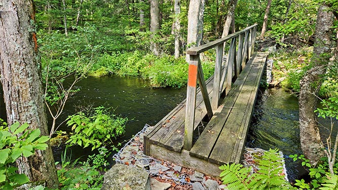
If you’ve ever been on a trail, you have probably seen colorful sprays of paint on trees along the way to the summit. These paint splotches were likely trail blazes.
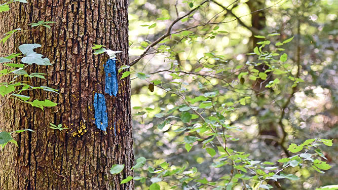
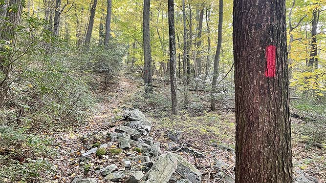
Trail blazes are painted strokes on trees used to lead hikers along an established path. Without worrying about getting lost, individuals are able to fully immerse themselves in the beauty that is Pennsylvania’s outdoors.
Placed prominently on trees so that they can be easily seen, blazes reassure hikers that they are on the right path. These markings are typically rectangular, about two inches wide and six inches tall, and are placed right above eye level. Hikers should always be able to have the next marker within sight.
Depending on the orientation of the rectangles, trail blazes are used to indicate which way the trail is going, such as the beginnings and ends of trails, changes in direction, and intersections.
How to Read Blazes
Being able to understand trail blazes is crucial to maintaining one’s safety in Pennsylvania’s outdoors. The language of trail blazes uses symbols, not words. These paint markers can be found in various configurations, and each has a different meaning.
Here are some common blazes that you may come across in state parks and forests and what they mean:
- Trail Start — Three rectangles forming an upward-pointing arrow indicates the trail starts, going forward.
- Trail End — On the other hand, three rectangles forming a downward-pointing arrow means that you have reached the end of the trail.
- Straight — A singular rectangle is the most common blaze. This means to keep going forward. You’re on the right path.
- Right Turn — A blaze featuring two rectangles with the top one to the right means go right. Imagine that it is forming a right diagonal pointing you in the correct direction.
- Left Turn — Conversely, a blaze with two rectangles with the top one to the left means go left. Again, you can imagine that it is pointing diagonally to the left.
- Intersection — A marker with two triangles stacked next to one indicates a spur leading to a different trail. The single rectangle is on the side where the spur trail intersects the one you’re currently on.
- Caution — Two blazes stacked on top of each other can mean two different things. If the rectangles are of the same color, that means to proceed with caution. There may be a sharp turn or obstruction ahead. If the rectangles are two different colors, this means that you are currently traveling along two trails that overlap each other.
Colors of the blazes indicated what trail you are on. Trails are typically marked with a single color from start to end. For example, the Appalachian Trail is marked white, and the Flat Rock Trail in Colonel Denning State Park and Tuscarora State Forest is marked yellow.
Trail colors are often indicated on DCNR recreational maps. Information about individual trails can also be found on the DCNR website under the hiking section of the state park you are interested in visiting. Park offices and kiosks can also help show what color trails may be.
Other Types of Trail Markers
While painted blazes are the most common way to mark trails in the United States, there are other common types of trail markers that are important to know before going for a hike:
Posts
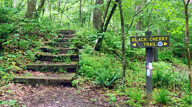
The easiest trail marker to see, posts are erected signs that often show the trail name or the next destination with arrows. Posts may also indicate distance traveled so far, the distance to the destination, or the distance at an intersection.
Affixed Signs
Because paint may fade, some trails may use signs nailed into trees rather than paint to indicate trail direction. These markers may be made out of metal, wood, or plastic. They may or may not include the trail’s name.
Other metal markers in Pennsylvania state parks or forests are boundary markers that show the edge of the park or forest. Unfortunately, these fixtures may fall off or get stolen, so painted blazes end up being more reliable.
Cairns
Cairns are piles of rocks left alongside a path to mark a trail and guide other hikers. Cairns may be used in situations where blazes cannot be put on trees such as mountainous terrain about the tree line, or where trees are just sparse. Cairns should only be built by park rangers or trail maintenance crews.
Unofficial cairns can lead hikers in the wrong direction, contribute to unnecessary erosion, and leave many insects and animals without a home.
What to Do When You are Lost
- Stop — When you realize you are lost, stop immediately. If you have a whistle, use it to draw attention to your location.
- Think — Try to remain calm and think about your situation. How did you get there? What are your options? Think before you take any action.
- Observe — Identify what you have with you that may be useful, and take a look around the area. Are you on the trail? Is it safe to stay where you are?
- Plan — If you have a plan set with your family or the people you are hiking with, follow through with it if you can. During this time, you’ll also figure out what you are going to do until you are found.
Now that you can identify trail markers and know what to do in case you become lost, consider spending some time hiking on a trail near you. Information about trails in Pennsylvania can be found at Explore PA Trails.
About DCNR:
Established on July 1, 1995, the Pennsylvania Department of Conservation and Natural Resources (DCNR) is charged with maintaining and protecting 121 state parks; managing 2.2 million acres of state forest land; providing information on the state’s ecological and geologic resources; and establishing community conservation partnerships with grants and technical assistance to benefit rivers, trails, greenways, local parks and recreation, regional heritage parks, open space, and natural areas. DCNR’s mission is to conserve and sustain Pennsylvania’s natural resources for present and future generations’ use and enjoyment. Learn more at DCNR.pa.gov.
Related Articles
A UV night hike at Black Moshannon State Park
Read MoreMark these 2025 PA Great Outdoors photo contests on your calendar
Read MoreStart your 2025 on the right foot with a First Day Hike
Read MoreAuthor: Guest Contributor
The Pennsylvania Wilds is home to more than 2 million acres of public land, 50 state game lands, 29 state parks, 8 state forests, 2 National Wild & Scenic Rivers, abundant wildlife, hundreds of miles of land and water trails, some of the darkest skies in the country, and the largest elk herd in the northeast.
The PA Wilds team is grateful to share the many stories of this region through the words and images of our talented guest contributors.


