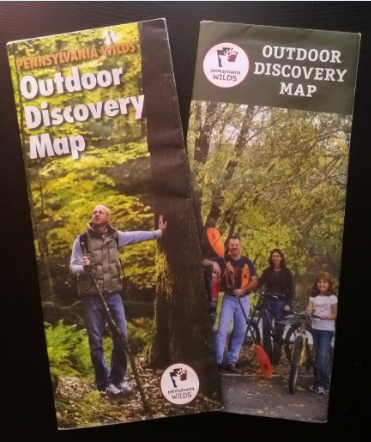
PA Wilds Outdoor Discovery Map: Handy tool for regional exploration to make a comeback
Did you know that the Pennsylvania Wilds is actually larger than some states?
Encompassing 12.5 rural counties and over 2 million acres of public lands, the Pennsylvania Wilds represents a quarter of the Commonwealth. The region is larger than Vermont and Massachusetts.

Navigating the Pennsylvania Wilds can be challenging, considering the region’s winding back roads and remote natural assets.
While that is part of the region’s allure, it’s also why those involved in the early work of the Pennsylvania Wilds effort conceptualized the Pennsylvania Wilds Outdoor Discovery Map.
After two successful print runs, it was clear that the Outdoor Discovery Map was the most popular piece of print literature offered for the region.

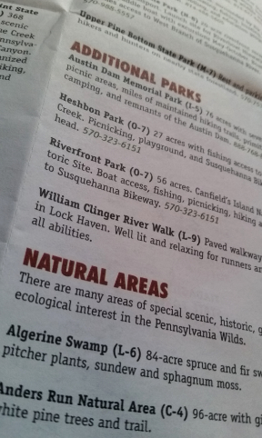
More than simply maps, both iterations of the Pennsylvania Wilds Outdoor Discovery Map have provided detailed information on the region’s many outdoor recreation and heritage assets. In addition to featuring a large navigational map that indicates key destinations throughout the region, the easy-to-carry brochure lists state parks, state forests, wilderness areas and a plethora of additional natural areas that people can visit. Special activities throughout the region are highlighted, too, from hunting and fishing to canoeing and kayaking, to hiking trails and horseback riding opportunities, to mountain biking destinations and ATV riding trails, to boating and winter activities, and much more.
It’s been nearly a decade since the last Pennsylvania Wilds Outdoor Discovery Map was published in 2010. Many things have changed on the ground. New state-of-the-art visitor centers have been established and more unique experiences have been identified.

PA Wilds Center for Entrepreneurship, the nonprofit organization serving the region, is eager to update the map, and get it back into the hands of regional adventure seekers.
The Center recently announced it is seeking proposals from firms interested in developing the third iteration of the Outdoor Discovery Map. (Learn more and access the RFP here.) In addition to overhauling the map, the contracted firm will be responsible for working with the PA Wilds Center to align with regional marketing strategies and engaging stakeholders whose assets are included.
“As we launch a sustainable regional marketing program, it is important that we have resources like the Pennsylvania Wilds Outdoor Discovery Map available to the traveling public to help them explore and connect with our region’s tremendous public lands and other outdoor recreation and heritage assets,” said Ta Enos, PA Wilds Center executive director.
With a goal of completing the redesign of the maps before fall of 2019, it looks like this handy tool for regional exploration will soon be making a comeback.


I loved this map! Carried one around in my pack for years.
So glad to hear you made good use of your map, Lou! I did the same thing and was so excited to find them recently, still inside an old travel bag. Looking forward to seeing the updated version late next year, and I hope you’re able to get your hands on one once they’re back in print.