Hiking the North Country Trail in the Allegheny National Forest
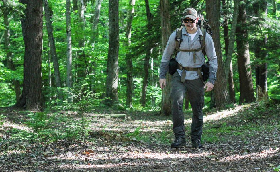
Ahhhh, finally summer is upon us with the forests becoming thicker and temperatures rising. I love this time of year for a variety of reasons, but especially for the amount of things you can do outdoors in the PA Wilds. I’m a hunter who loves hunting the public lands that we have available to us here in Pennsylvania as well as cross country trips to the Rocky Mountains. One of my favorite things to do that allows me to prepare for my backcountry hunting trips is to hike and camp during the summer. More specifically, utilizing the North Country Trail (NCT) in the Allegheny National Forest allows for a great experience in the Wilds and provides opportunities to get more familiar with my gear. Those are just my reasons for using this trail system, but it’s used by thousands of people every year for just about everything!
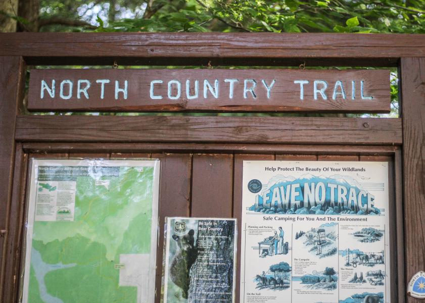
The North Country Trail
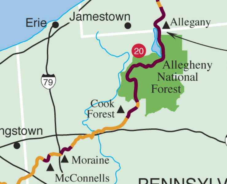
The North Country Trail stretches 4,600 miles over eight states from North Dakota to Vermont with a large chunk of it being close to home in Pennsylvania. 97 of the 4,600 miles runs through the Allegheny National Forest alone! This trail passes through some of the most majestic old growth forests in the northeast and is open to all of us for hiking and camping.
My Favorite Route
A section of this trail system that I’ve personally done a lot of hiking on and will continue to wraps around the Kinzua Reservoir in the Allegheny National Forest. What’s great about this section is that there are plenty of opportunities for day hiking or a multi-day adventure by yourself or with family and friends.
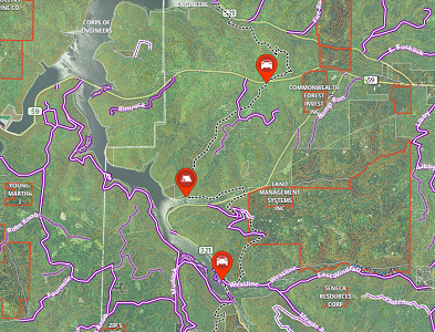
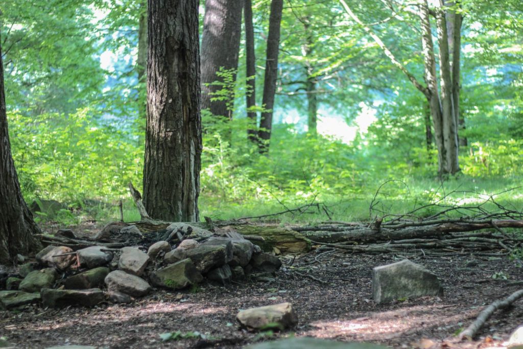
You really can’t go wrong with hiking anywhere on the NCT, but I’ve found that the section of the trail above is my favorite for a weekend hiking/camping trip. You can park along 321 right after Red Bridge and begin the hike. If you’re going with someone, park one vehicle on the other end, off of Route 59. Near the halfway point, there are multiple primitive camping locations that are available on a first-come basis right next to the lake. I would recommend purchasing a fishing license and bring a rod with you!
I utilize OnX Maps to create my trail routes, and it is really helpful because you can plot waypoints, see the trail route (depending on the color of the trail, it will determine how difficult it will be), and download the area to your phone for offline use since most of the area does not have cell service. If I’m only going for a day hike, I can split it up and do an out and back (hike to a specific point and turn around) or park vehicles on each end and hike a portion of it. In addition to using the OnX Maps, the NCT is identified by blue markings on the trees. All side trails are identified in white.
Camping/Hiking Reminders
Camping regulations
- A good rule of thumb is that most federal public lands (Allegheny National Forest) is open to camping, whereas a lot of state land (Game lands) does not allow camping. There are exceptions to these rules, so make sure to do your research ahead of time. Click here for more details.
Safety notes
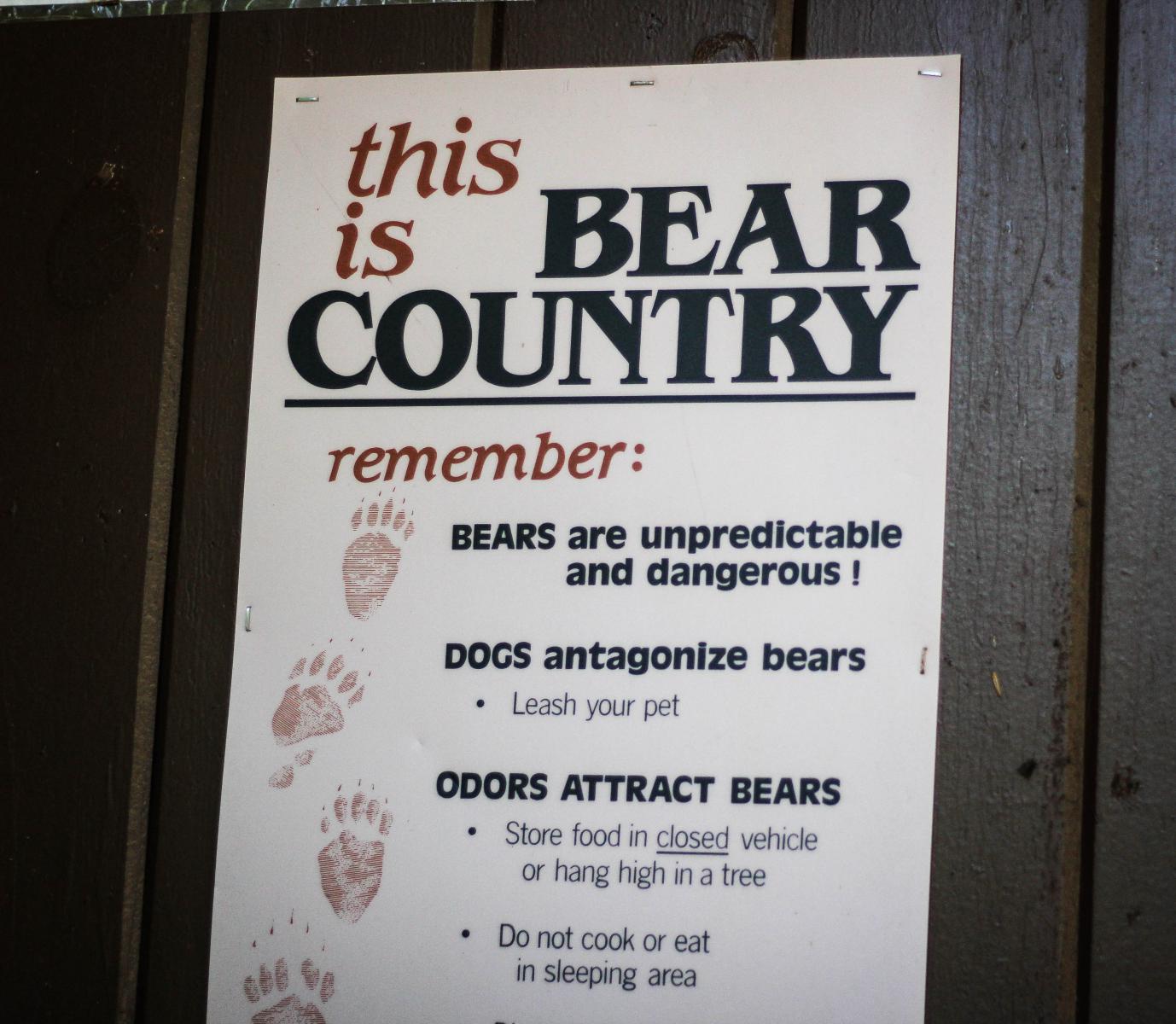
- There are black bears in the area, so it’s important to store your food overnight hoisted in a tree, do not cook or eat in your sleeping area, and make sure that you are not antagonizing the bears.
- There is plenty of water running through this area that looks clean and clear. This water can be consumed, but it must be treated first by water purification or filtration.
- Leave a printed copy of the map at home so someone knows where you are going and the expected time to complete.
- Develop a plan to check in before/after the hike where cell phone reception permits.
The most important thing out of all of this is to have fun! Take the family with you or find some time away for yourself to enjoy the trail that is available to us all this summer.
Additional Information
For more information on the trail, visit northcountrytrail.org/trail/ or northcountrytrail.org/trail/hike-planning/.


