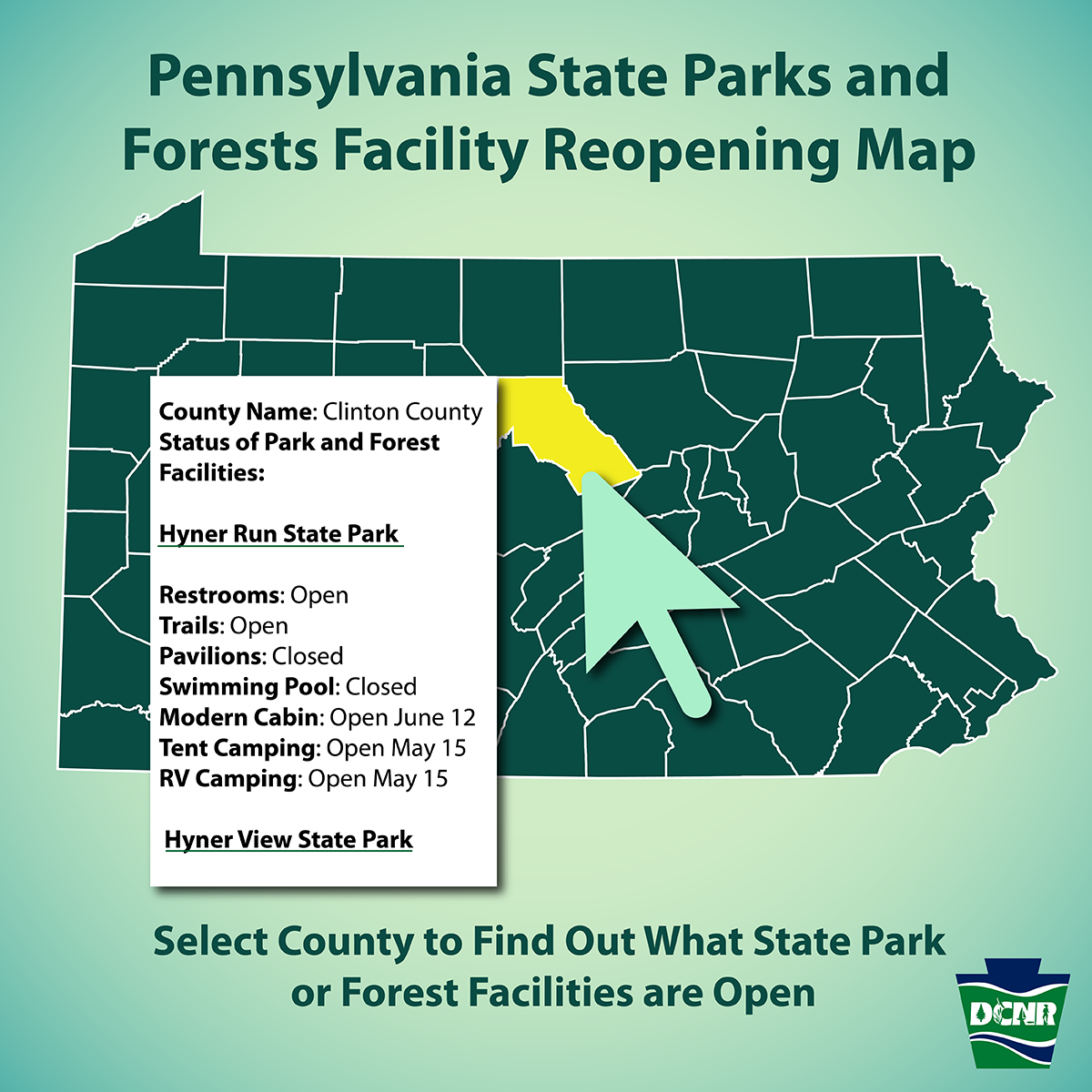
As State Parks, Forests Reopen, DCNR Releases Facility Status Map
The Pennsylvania Department of Conservation and Natural Resources (DCNR) recently shared this online map, which shows what state park and forest facilities are open by county.
Once a county is selected, all state parks and forest facilities are shown from that county. In addition, information is shown regarding whether or not trails, restrooms, pavilions, pools, camping and cabins are open or closed for each park and forest.
The map will be updated when counties move from one phase to another.

DCNR notes:
- Access to the outdoors is more critical than ever for our well-being in these unprecedented times. Pennsylvanians are advised to stay as close to home as possible for outdoor recreation.
- All DCNR lands including trails, lakes, rivers, streams, forests, roads, and parking areas are accessible statewide for recreation; however, the availability of facilities such as bathrooms, offices, and campgrounds varies.
- To learn what facilities are open or closed within state parks and forests click on the county in this interactive map. Decisions about opening or closing state park or forest facilities are being made in coordination with Governor Wolf’s reopening plans.
- Regardless of the status of the county, state park and forest visitors are urged to do their part to make the experience healthy and enjoyable for themselves and others by following COVID-19 mitigation guidelines, including practicing social distancing, avoiding crowds, and wearing a mask when they encounter other people.
Find other updates from DCNR here.


